

MosaicEarth Desktop adds local Gaussian reconstruction to a drone-mapping workspace
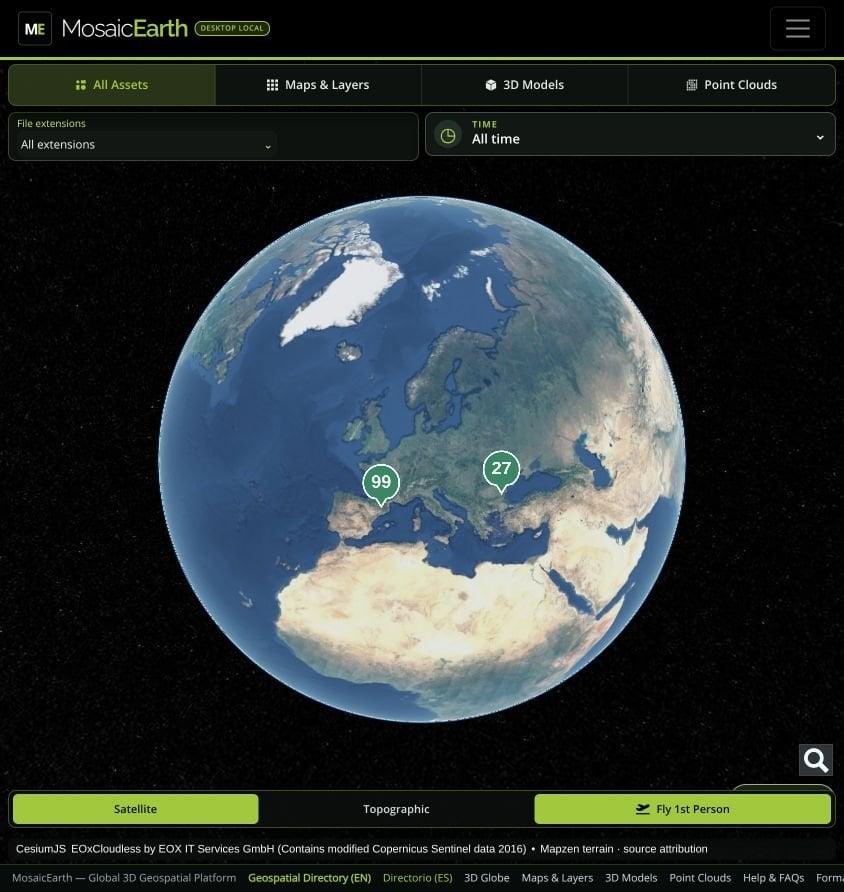
The nsicart/MosaicEarth-Desktop repository was created on 6 November 2026. The README describes a Windows and Linux application that runs the MosaicEarth web interface locally, keeping projects, original photographs and results on the user’s disk, with optional cloud sync.
Besides NodeODX/ODX photogrammetry for orthophotos, elevation models, point clouds and meshes, the desktop build can reconstruct Gaussian scenes from overlapping imagery with COLMAP and OpenSplat, then organize surveys in MyEarth and inspect georeferenced layers in MyMosaics, including a Fly View. GPU use is automatic when NVIDIA CUDA is available inside Docker, with a CPU fallback.