

Esri makes ArcGIS Reality Server generally available, with Gaussian splats
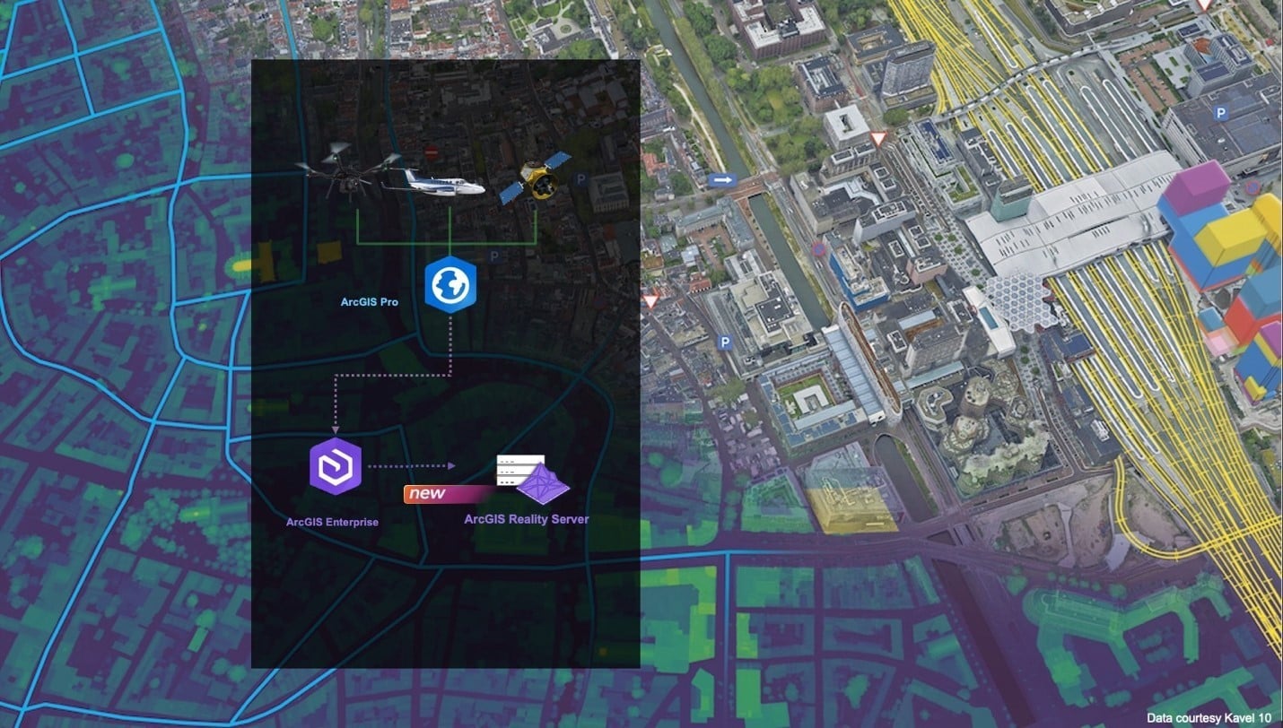
Esri has made ArcGIS Reality Server generally available with ArcGIS Enterprise 12.2. It is a self-hosted server role that processes large collections of drone, aerial and satellite imagery inside an organisation’s own GIS, on premises or in Microsoft Azure, and turns them into true orthos, elevation models, point clouds, 3D meshes and Gaussian splats. Reality Server was a beta feature in Enterprise 12.0 and 12.1.
According to the documentation, work is organised into projects for one location and missions for each capture session, and processing is distributed across several server machines, so large projects or several missions can run at once. Splats have their own hardware floor: every machine on the site needs at least 64 GB of RAM, an NVIDIA GPU with at least 8 GB of VRAM and compute capability 7.5 or higher, CUDA 13 or later and the Deep Learning Libraries.
Radiance Fields notes that projects are authored in ArcGIS Reality Pro or automated through the ArcGIS API for Python and the REST API, while the ArcGIS Reality Web App is still in beta, and that Esri lists no pricing. On the viewing side, ArcGIS Enterprise 12.2 lets Scene Viewer slice through Gaussian splats, check line of sight and extract elevation profiles in the browser.
 «Server Farm» Comic