

Clemson turns existing Memorial Stadium drone photos into a Gaussian splat
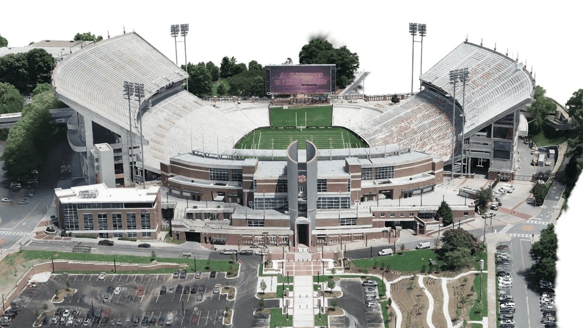
Clemson University’s Center for Geospatial Technologies reprocessed existing drone imagery of Memorial Stadium into a Gaussian splat and a mesh in Esri ArcGIS Drone2Map, with no new flights. Drone2Map added a Gaussian splat product in version 2025.2, generated as a 3D tile layer using deep learning, and Jared Gingrich ran the stadium imagery through the 3D Products template, which outputs point clouds, textured meshes and Gaussian splat layers from the same camera alignment; the stadium mesh and splat processed together in about 13 hours.
Esri does not state the hardware behind that run, the splat count, or the drone used for the original capture. According to Esri, the splat covers the stadium and surroundings as a single segment and loads much faster than a campus mesh that had to be split into 10 segments, resolving light poles, flagpoles, upper-tier spires, goalposts and tree branches that the mesh rendered poorly. The project is also detailed in Esri’s ArcWatch case study.